TrackAsia – Maps Platform
Sep 2024
TrackAsia is a unified geospatial platform combining a marketing website and an interactive maps application, enabling teams to visualize locations, manage location-based data, and plan routes through a seamless map-first experience.
Designed to reduce complexity in spatial workflows, the product helps users move from exploration to decision-making with clarity, speed, and confidence.
My Contribution
- End-to-end UI/UX design for map-first workflows
- Information architecture for locations, layers, and filters
- Interactive prototyping and usability validation
- UI consistency and scalable component patterns
Tools Used
- Figma
- Prototyping tools
- Adobe Suite
- AI Tools

Overview
TrackAsia unifies multiple layers of location-based data into a single map-first interface. Instead of separating search, data visualization, and actions into different views, users stay within the map context, allowing them to explore, compare, and act without losing orientation.
Problem
This challenge is amplified by frequent changes to administrative boundaries in Vietnam, requiring the system to continuously adapt geospatial data structures while maintaining accuracy, consistency, and a seamless user experience.
- Difficulty quickly identifying optimal routes in dense urban traffic conditions
- Limited support for understanding real-time congestion and its impact on travel time
- Inconsistent interaction patterns across map-based workflows
- Lack of clear next steps after selecting a location or route
Solution
We redesigned the experience around a map-first interaction model with a clear hierarchy:
Map → Context Panel → Action
The interface prioritizes real-time visibility and fast decision-making, helping users quickly identify optimal routes in complex urban traffic conditions.
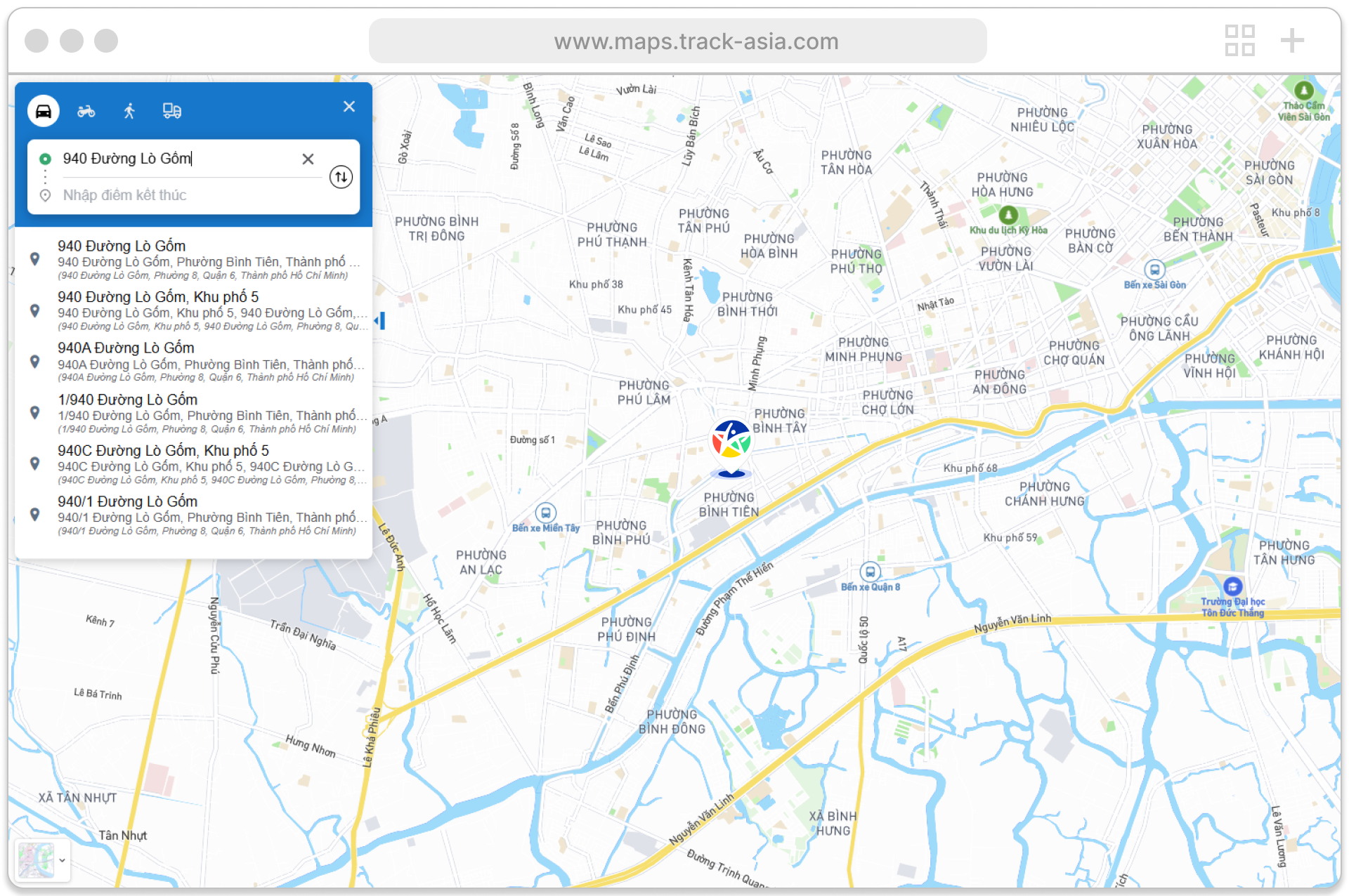
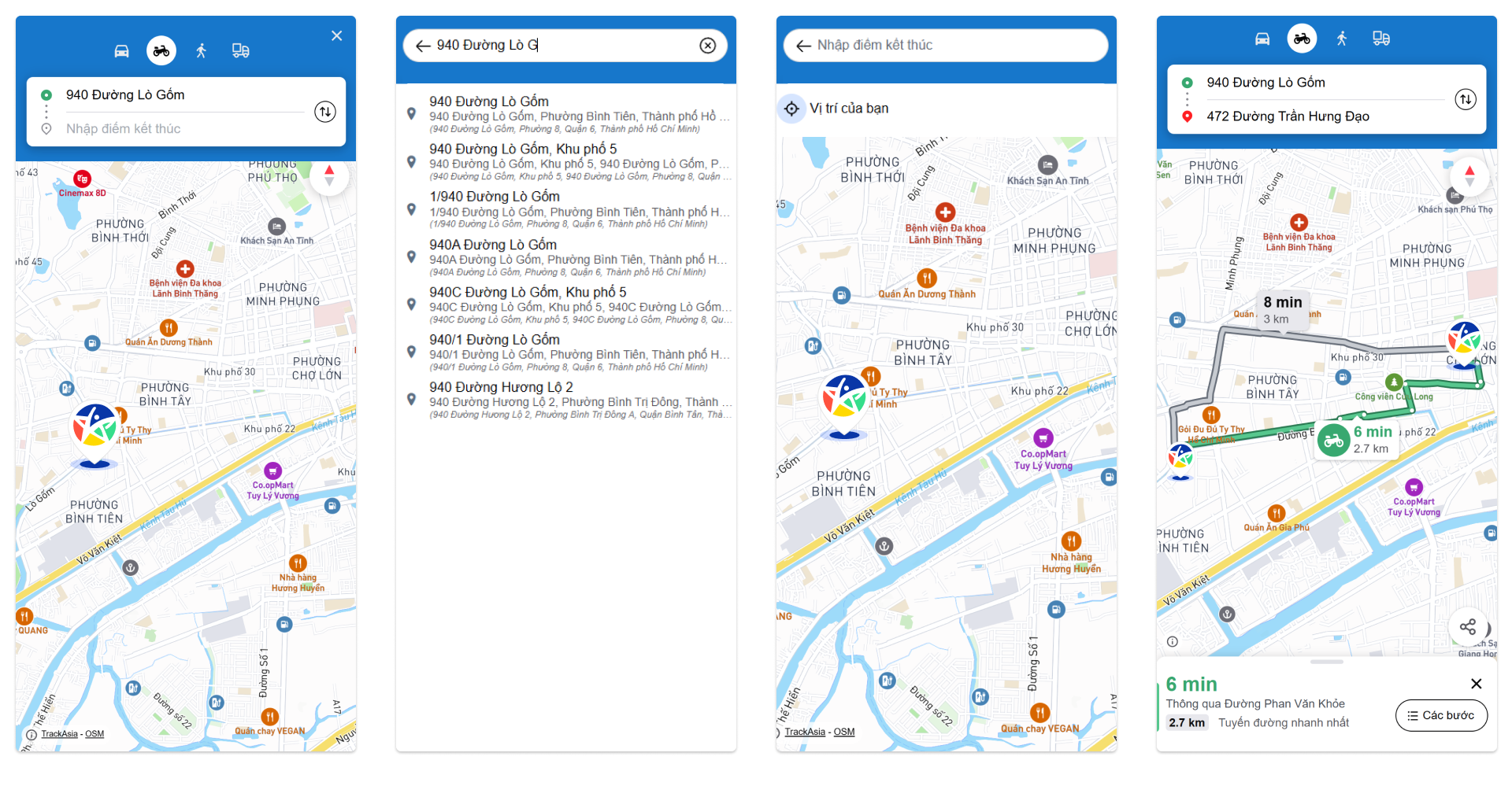
Search-first entry point with instant results and suggested destinations
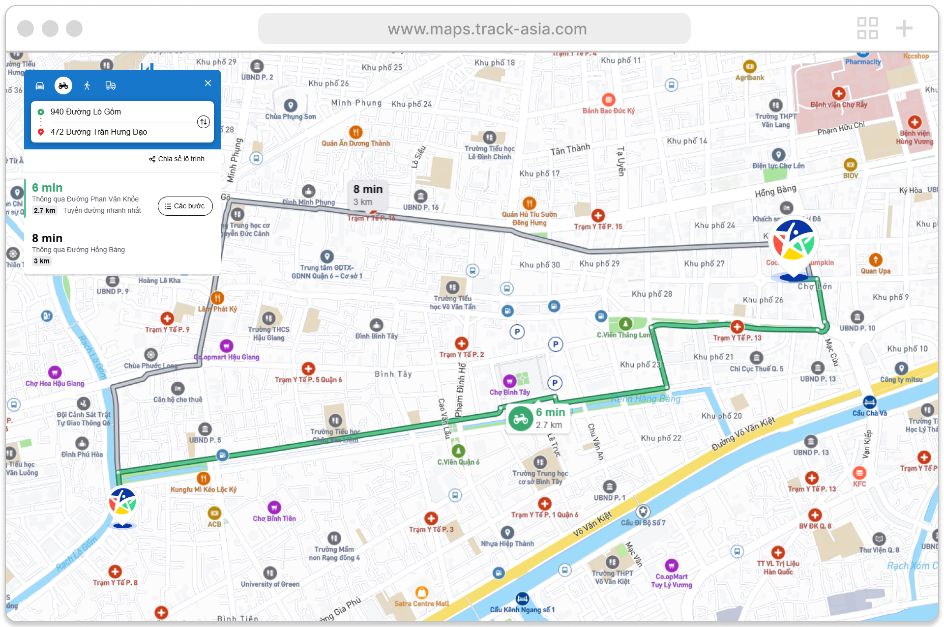
Real-time traffic visualization layer to highlight congestion and road conditions
Route comparison with estimated arrival time (ETA) for faster decision-making
Optimized layer and filter system for scanning geospatial and traffic data
Key Features
- Interactive maps with clustering, selected states, and real-time feedback
- Smart search with predictive suggestions and quick navigation actions
- Dynamic traffic layer simulating real-time congestion intensity
- Multi-route comparison with distance and ETA optimization
Design Approach
The design focused on optimizing high-frequency workflows, helping users quickly identify optimal routes, evaluate traffic conditions, and act with minimal friction in dense urban environments.
- Prioritized map readability to clearly visualize traffic conditions and route options
- Designed clear selected and route states to maintain context during navigation
- Reduced cognitive load for fast decisions in complex traffic situations
- Applied consistent interaction patterns for predictable and efficient workflows
User Flows

Design System
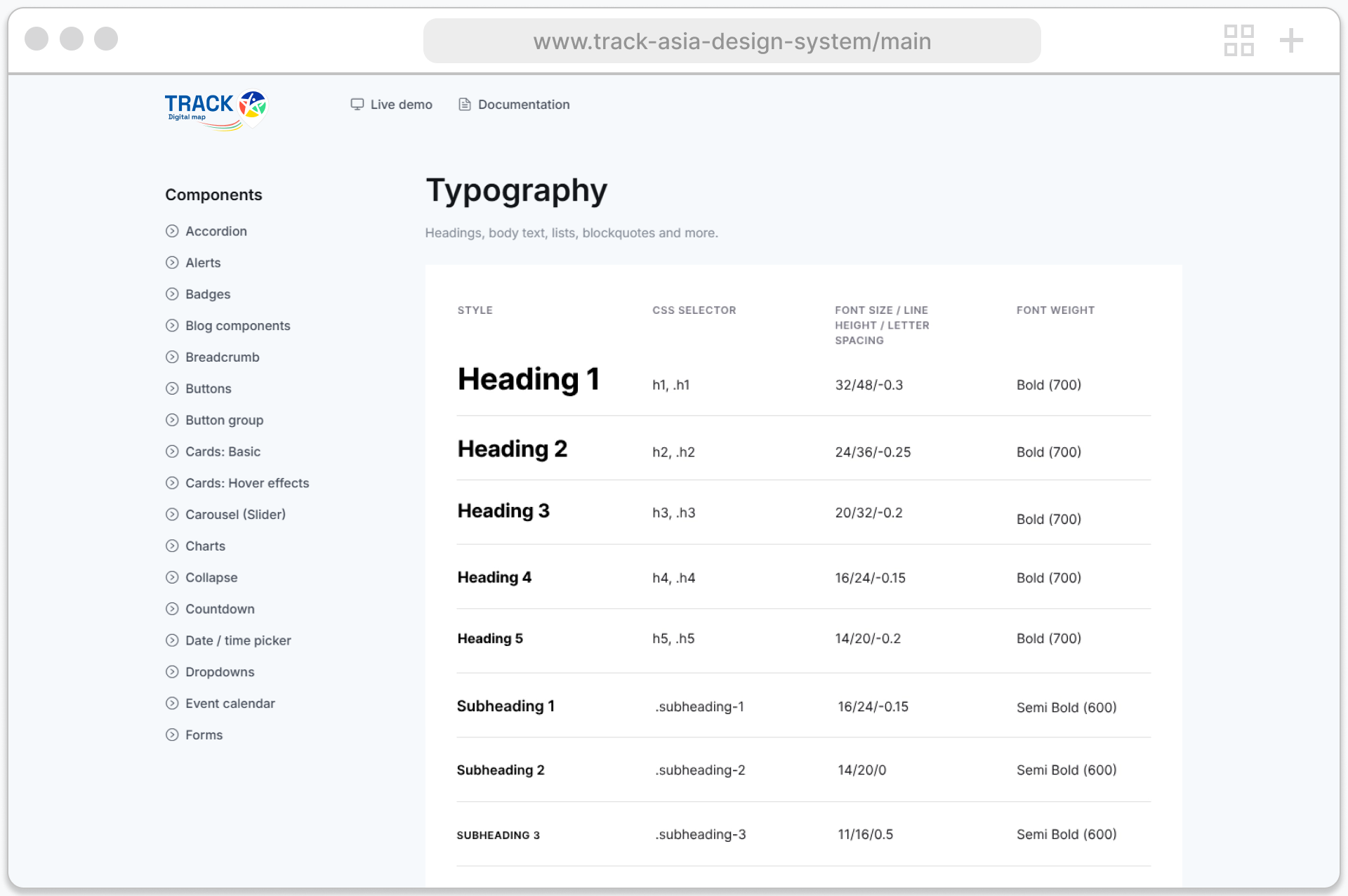
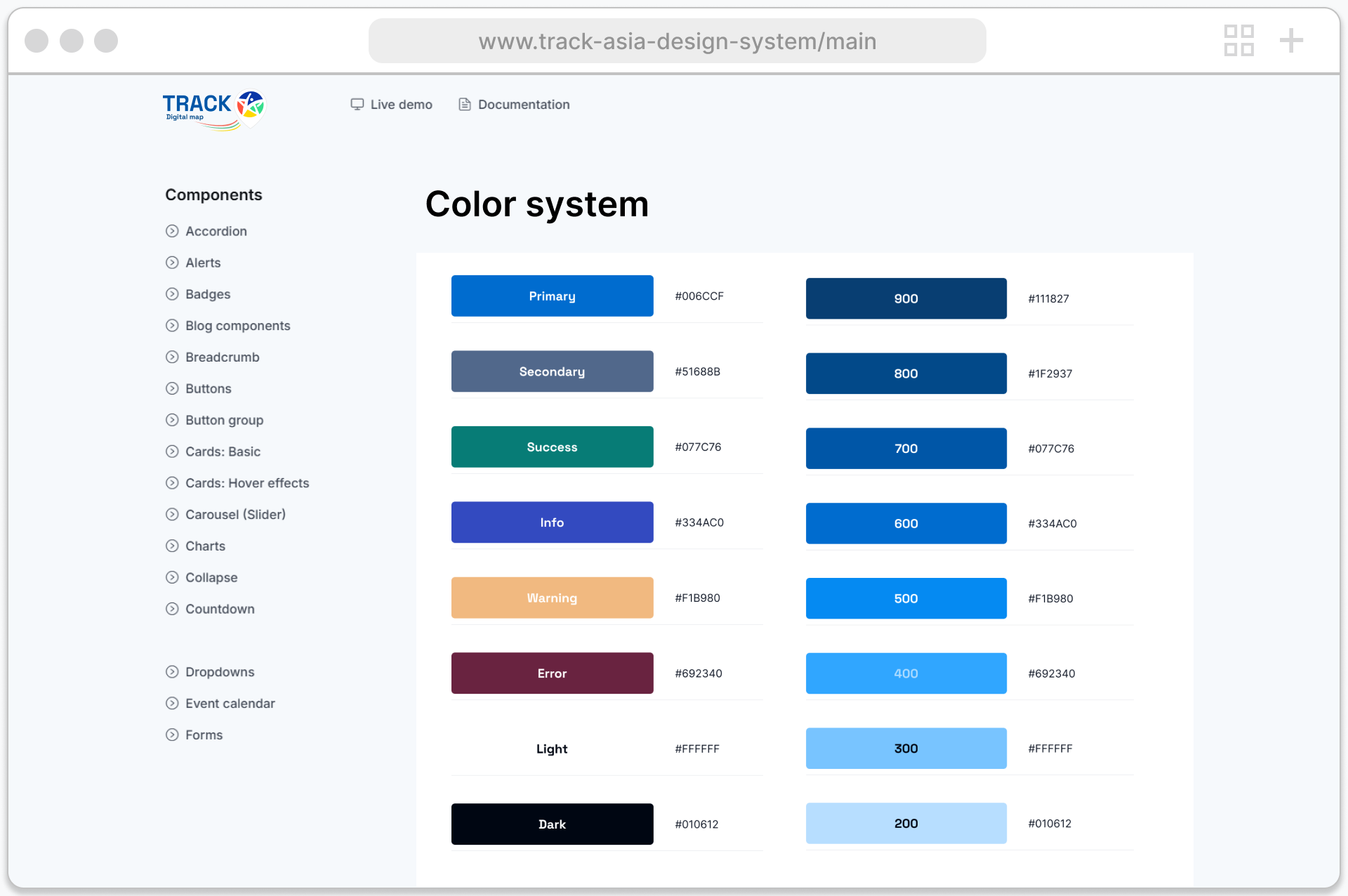
A unified design system was developed to ensure consistency and scalability across the TrackAsia ecosystem. It defines reusable components, interaction patterns, and visual principles, enabling faster design iteration while maintaining a cohesive user experience across both the website and map application.
Website
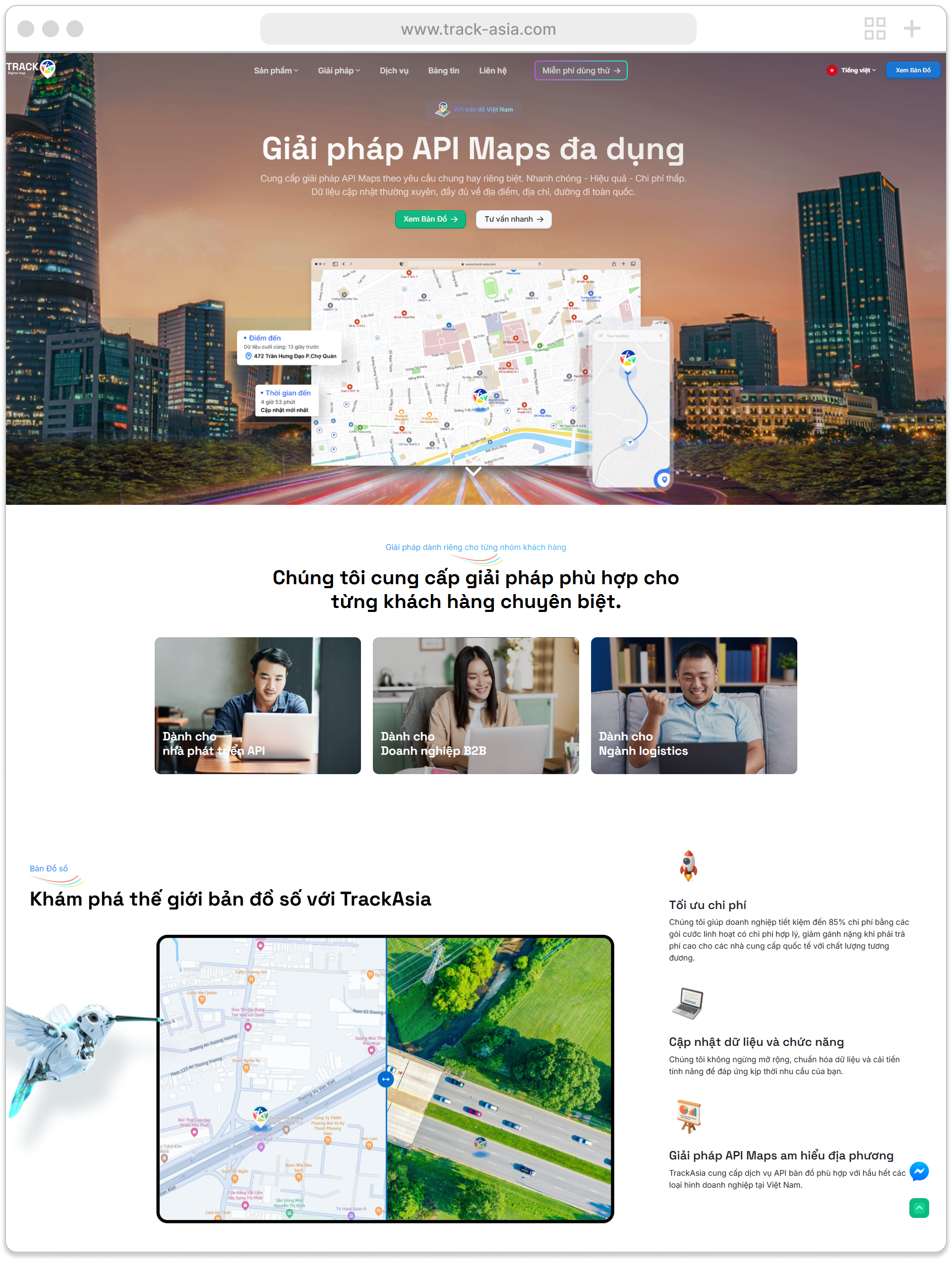
The marketing website serves as TrackAsia's main entry point, communicating the product value, capabilities, and API services. It helps users quickly understand how the platform works and how it can be integrated into real-world use cases.
The experience focuses on clarity, structured content, and guiding users from discovery to action.
Map Application
The map application is the core product where users interact with real-time location-based data to explore places, analyze spatial information, and perform actions within a map-first interface.
The design emphasizes usability and contextual awareness, enabling a seamless transition from search to decision-making.
Web Platform
Application
Impact
The final product delivered measurable improvements in speed, accuracy, and confidence, helping users make faster and more informed decisions.
30%
Faster route decision-making time
40%
Improved visibility into traffic conditions
25%
Reduced completion time for core tasks
Next Steps
Looking ahead, the focus is on expanding the platform capabilities to support advanced offline workflows and stronger team collaboration.
Offline maps and caching for field use
Advanced filters and saved filter presets
Collaboration features: sharing layers and routes
Analytics dashboard for geospatial activity and usage insights
Other Projects
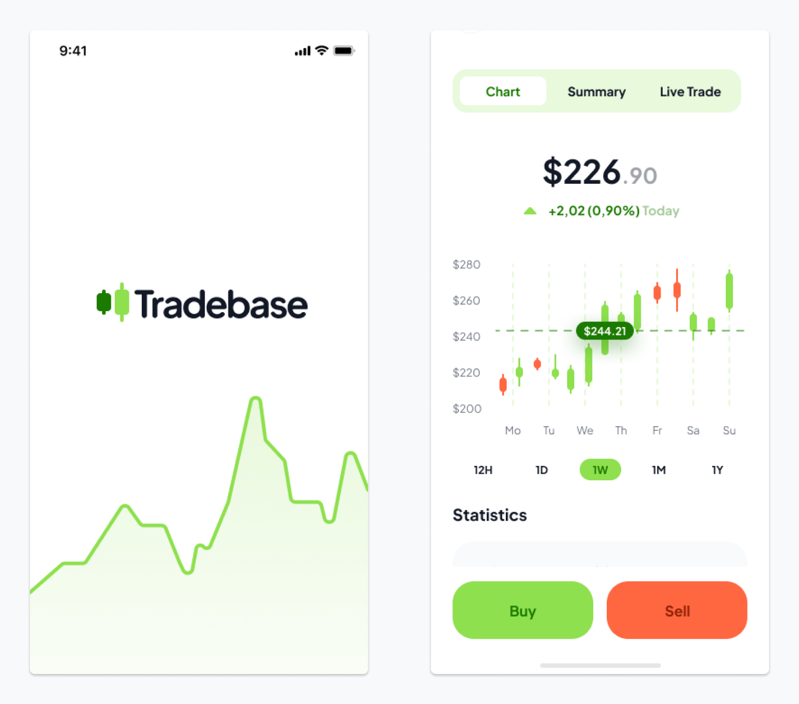
Tradebase
Stock Trading Platform
Simplifying complex financial decisions for faster and more confident trading through a clear and intuitive digital experience.